Tunnel deformation may be caused by various factors such as changes in geological conditions, construction impacts, and long-term use. If not detected and addressed in a timely manner, it will pose a serious threat to the safe use of the tunnel. The GNSS monitoring station provides an efficient and accurate solution for tunnel deformation monitoring.
The operation of the GNSS monitoring station is based on the Global Navigation Satellite System, achieving positioning by receiving signals transmitted by multiple navigation satellites. Satellites continuously send navigation messages containing key information such as time and position to the ground, which are received and processed by the receiver in the GNSS monitoring station. Since the orbital positions of satellites in space are precisely known, the distance between the monitoring station and the satellite can be calculated through specific algorithms using the time it takes for the signal to travel from the satellite to the monitoring station receiver, combined with the principle of constant speed of light. By receiving signals from multiple satellites simultaneously and based on the principle of triangulation, the three-dimensional coordinates of the monitoring station can be accurately solved.
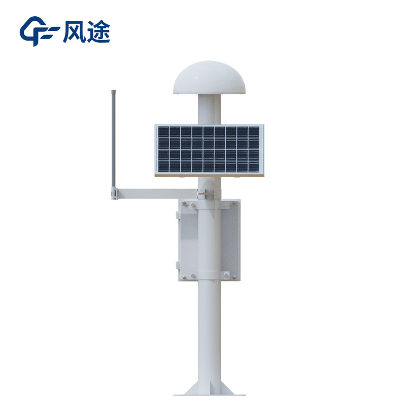
In the application of GNSS monitoring stations in tunnel deformation monitoring, the first step is to reasonably arrange monitoring points. Monitoring points are set at key parts of the tunnel such as the vault and side walls, as these positions can most intuitively reflect the deformation of the tunnel structure. In metro tunnels, GNSS monitoring equipment is installed on the vault and side walls on both sides at certain intervals along the longitudinal direction of the tunnel, forming a complete monitoring network to comprehensively monitor the deformation information of various parts of the tunnel.
The GNSS monitoring station continuously collects data at set time intervals. The collection frequency can be flexibly adjusted according to the specific conditions of the tunnel, such as construction progress and the complexity of geological conditions, ranging from a few minutes to several hours. During critical periods of tunnel construction, such as during shield tunneling, the data collection frequency is increased to timely detect tunnel deformation caused by construction. The collected data includes the three-dimensional coordinate information of the monitoring points, which are the basis for subsequent analysis.
Data processing is an important part of tunnel deformation monitoring using GNSS monitoring stations. Since satellite signals are subject to various interferences during propagation, such as atmospheric delay and multipath effects, the original data has certain errors. Therefore, differential positioning technology needs to be used to improve data accuracy. Differential positioning technology requires setting up one or more reference stations with known precise positions in the monitoring area. The reference station receives satellite signals, calculates its own coordinates, compares them with the known precise coordinates, and obtains error information. This error information is then sent to the monitoring station, which uses it to correct the satellite signals it receives, thereby effectively eliminating error sources such as satellite clock errors and atmospheric delays, significantly improving monitoring accuracy to achieve millimeter-level or even sub-millimeter-level precision. By comparing and analyzing the coordinates of monitoring points at different times after processing and calculating the coordinate changes, the deformation of the tunnel in various directions, such as displacement, settlement, and convergence, can be accurately determined.
Through accurate monitoring of tunnel deformation, potential safety hazards can be detected in a timely manner, providing guarantees for the safe construction and operation of the tunnel.
This paper addresses:https://www.fengtusz.com/industry/808.html