Soil salinity mainly comes from water-soluble salts in the soil, such as common chloride ions, sulfate ions, sodium ions, calcium ions, etc. When these salts accumulate excessively in the soil, it causes soil salinization, which affects crop emergence and growth, and in severe cases can even lead to crop death. Traditional soil salinity measurement requires collecting soil samples and bringing them back to the laboratory for analysis, while in-situ rapid salinity measurement technology allows us to perform direct and rapid measurements in the field without disturbing the original soil structure.
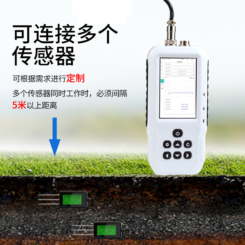
A Soil Salinity Meter is a portable instrument used for direct on-site measurement of soil salt content. It helps people quickly understand soil salinity conditions, providing important basis for agricultural production and environmental monitoring.
The principle works by measuring the electrical conductivity of the soil to indirectly reflect the soil salt content. This is because the higher the concentration of salt ions in the soil solution, the stronger the conductivity. The currently common technology is the four-electrode method, which uses an alternating constant current signal as the measurement excitation. The output signal responds promptly to dynamic changes in soil salinity without significant lag, making it suitable for a wide range of in-situ field measurements.
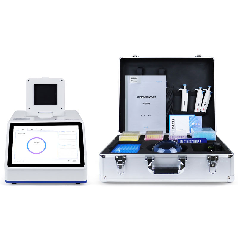
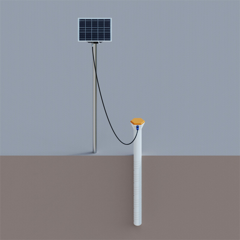
Soil salinity meters integrate multiple practical functions. The built-in GPS module can accurately record the geographical information of measurement points and simultaneously display environmental parameters and the latitude and longitude of measurement points on the screen. Through the GPRS module, users can upload measurement data to the cloud or designated platforms with one click, or export data to a computer via an external SD card or USB interface. The main unit has a large-capacity built-in memory that can store up to 300,000 data records and features automatic storage protection function when power is cut off. It also has multi-channel automatic detection expansion capabilities, supporting simultaneous connection of multiple sensors for synchronous detection. The supporting host computer software is powerful, capable of storing data as Excel files, generating data curves, and featuring color-changing warning functions for over-limit data. It is widely used in soil moisture detection, dryland water-saving irrigation, precision agriculture, forestry, geological exploration, plant cultivation, water conservancy, environmental protection and other fields.
This paper addresses:https://www.fengtusz.com/industry/869.html