GNSS stands for Global Navigation Satellite System. The well-known GPS (United States) in our daily lives is its most famous representative. In addition, there are China's BeiDou, Russia's GLONASS, the European Union's Galileo, and others. These systems together form a global satellite network that provides users on the Earth's surface with all-weather, all-time three-dimensional position, velocity, and time information.
The GPS positioning accuracy in our mobile phones is typically a few meters to over ten meters, which is sufficient for navigation. However, this accuracy is far from enough for monitoring millimeter-level and centimeter-level deformations. A high-precision GNSS algorithm called "carrier phase differential technology" solves this problem. By setting up a fixed reference station and one or more mobile monitoring stations on the ground, common errors such as satellite clock errors, receiver clock errors, and atmospheric delays can be eliminated in real-time, ultimately achieving relative displacement accuracy at the millimeter or even sub-millimeter level.
It is the maturity of this technology that has transformed GNSS from a simple "navigation tool" into a powerful "monitoring tool," and the GNSS monitoring station has emerged as a result.
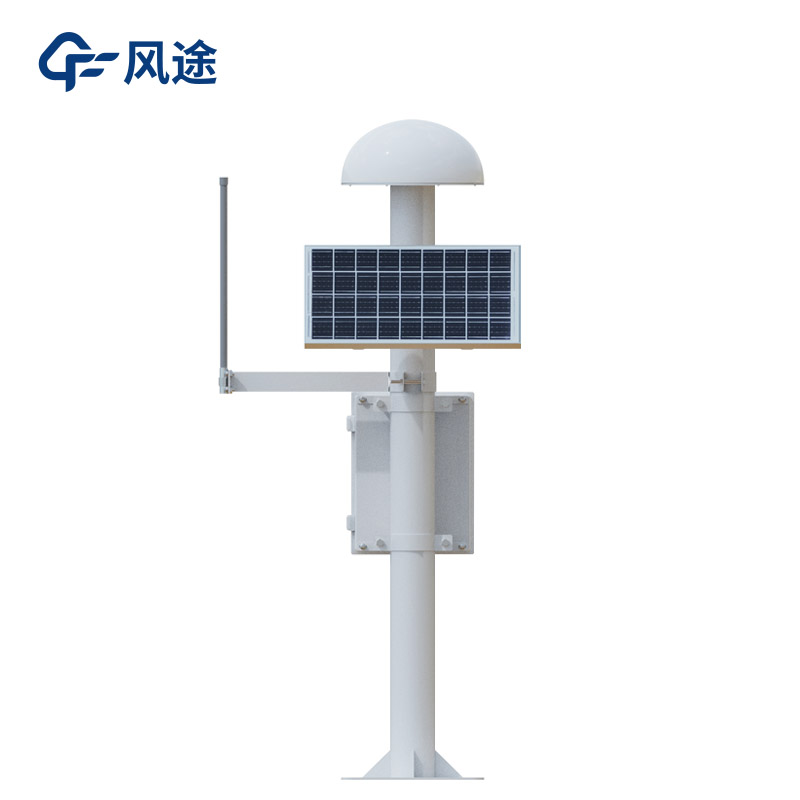
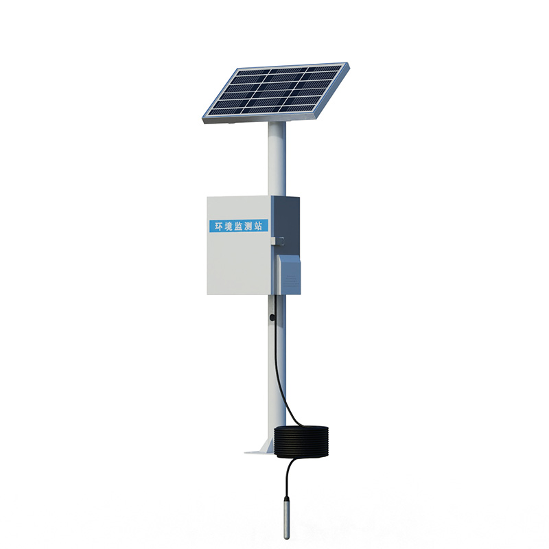
A GNSS monitoring station is a high-precision automated monitoring device that integrates a GNSS receiver, antenna, power supply system, communication module, and protective housing. It can continuously and real-time monitor the minute changes in the three-dimensional spatial position (X, Y, Z, and elevation) of an object over time.
How to use it? You only need to:
Set up a reference station at a stable, immovable location near the monitoring area.
Install one or more monitoring stations on targets that need monitoring, such as buildings, slopes, and dams.
Both the monitoring stations and reference station simultaneously receive signals from multiple GNSS satellites.
The monitoring stations send raw observation data to the back-end processing center in real-time via wireless networks (such as 4G/5G).
The central server uses differential algorithms to real-time calculate the precise three-dimensional coordinate changes of each monitoring station relative to the reference station, forming displacement time series curves.
Because of this advantage, GNSS monitoring stations are widely used in geological disaster monitoring, such as monitoring surface displacements of landslide bodies to provide critical data for early warning and risk avoidance, and for monitoring the stability of high slopes along highways, railways, and mines. They can also monitor the settlement and displacement of ground surfaces and surrounding buildings along construction routes, monitor large-scale land subsidence caused by groundwater extraction, mineral mining, etc., or perform real-time safety monitoring of dangerous buildings, barrier lake dams, and other structures.

This paper addresses:https://www.fengtusz.com/industry/854.html


