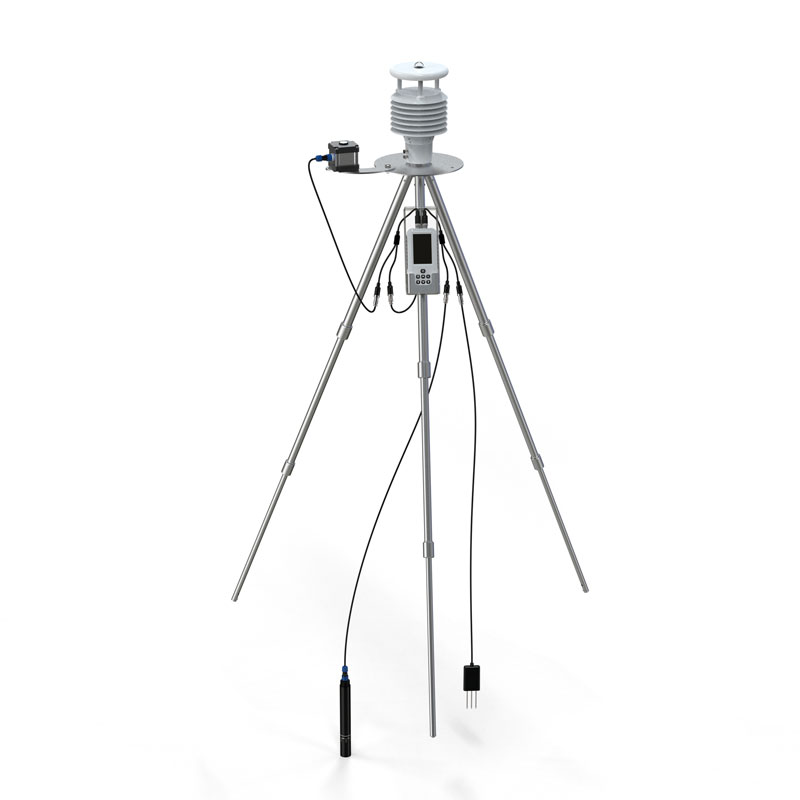
GNSS Deformation Monitoring Technology, fully known as Global Navigation Satellite System Deformation Monitoring Technology, is a displacement monitoring method that utilizes satellite signals such as BeiDou and GPS to achieve millimeter-level accuracy through differential RTK technology. This technology involves deploying monitoring terminals on the ground to receive satellite signals and remotely transmit data to a processing center, enabling the precise detection of extremely subtle positional changes in the ground or structures. Its advantages lie in its ability to provide all-weather, continuous, and automated monitoring. Due to its high precision and efficiency, it is widely used in areas such as geological disaster prevention, and the safety monitoring of engineering structures like dams and bridges.
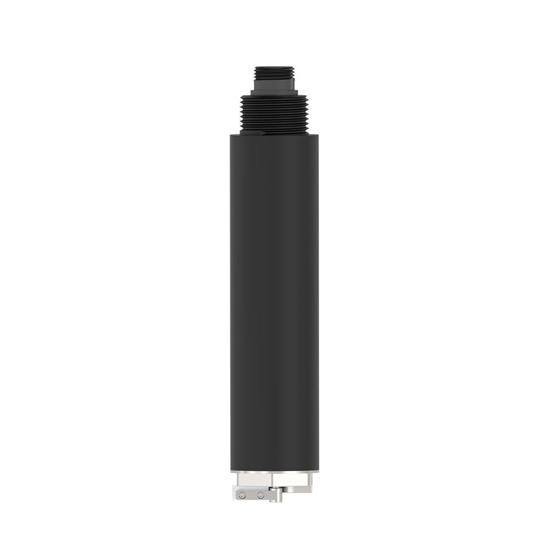
The Fengtu® GNSS Monitoring Station (Model FT-WY2) is a specific product implementation of this technology. In terms of hardware, it employs a professional choke ring antenna supplemented with magnetic wave-absorbing materials, aimed at effectively suppressing signal interference caused by multipath effects, thereby ensuring the purity and stability of data acquisition in complex urban or field environments.
The device integrates multiple advanced algorithms. Preliminary processing is embedded at the front end using sidereal filtering and Kalman filtering, while the cloud platform incorporates models such as trend analysis and grey prediction for in-depth analysis, ensuring the reliability of monitoring results.
The Fengtu GNSS Monitoring Station achieves an accuracy in static monitoring mode of ±(2.5mm + 0.5×10⁻⁶×D) in the horizontal direction and ±(5.0mm + 0.5×10⁻⁶×D) in the vertical direction. It supports 11 frequency signals from four major satellite navigation systems (BeiDou, GPS, GLONASS, Galileo), enabling multi-system integrated positioning and enhancing signal availability and solution strength. It supports various data transmission methods such as 4G/NB-IoT and allows for 3D data visualization through a cloud platform, enabling users to intuitively observe the displacement direction and magnitude of monitoring points.
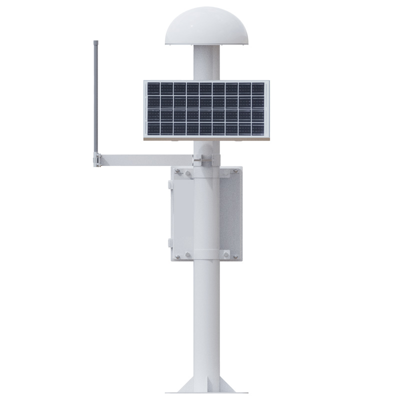
However, to ensure the specified monitoring accuracy is achieved, the installation of the Fengtu GNSS Monitoring Station requires strict environmental conditions. For example, the baseline distance between the reference station and the monitoring station is recommended to be within 500 meters. Additionally, the station must be installed in a location with an open sky view, away from tall buildings and strong radio transmission sources, to avoid signal obstruction or interference.
This paper addresses:https://www.fengtusz.com/industry/881.html