Dams are like trees growing on the ground—when the wind blows, the treetop tilts in the downwind direction. Similarly, under loads such as water and temperature, dams undergo slight deformations. A key characteristic is that the deformation is most significant at the dam crest, moderate at the mid-section, and minimal at the base. When reservoir water levels rise or temperatures drop, the dam displaces downstream; conversely, when water levels fall or temperatures rise, it displaces upstream. Unlike the visible tilting of a tree, however, dam deformations are extremely subtle and require precise instruments for observation.
To accurately, comprehensively, and timely monitor dam deformations, "reference lines" analogous to the "horizontal water lines" and "vertical lines" used in construction to check a building’s level and plumb are installed within the dam body. In dams, vertical reference lines are called plumb lines, while horizontal ones are termed tension wires. Both use high-strength steel wires as measuring lines, and these monitoring methods achieve a precision of 1 millimeter.
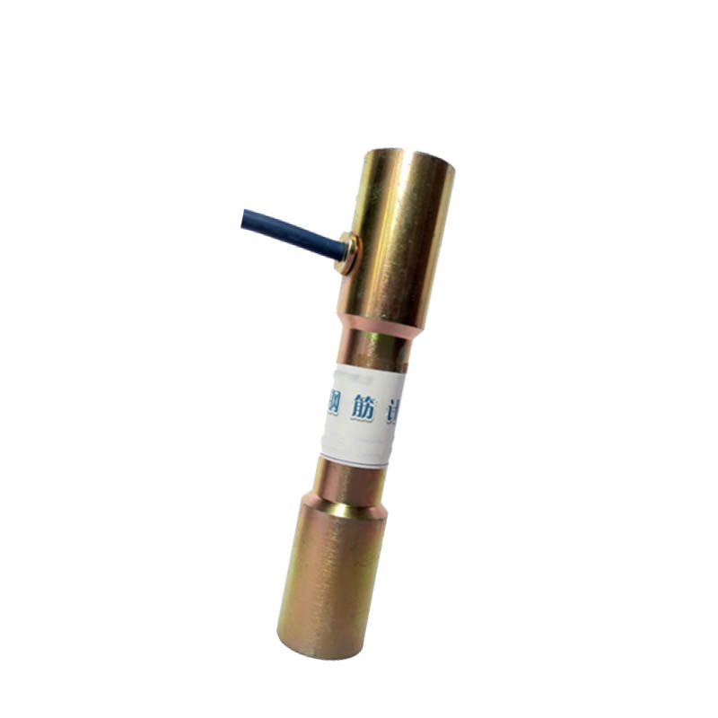
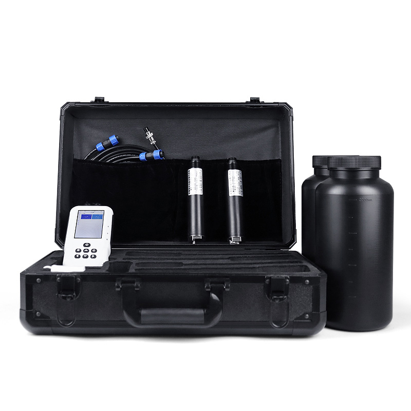
In addition to plumb lines and tension wires, the dam body is equipped with numerous other deformation monitoring facilities, including extensometers, precise distance meters, hydrostatic level meters, precise bench marks, bimetallic marks, temperature-measuring steel pipe marks, multi-point displacement meters, bedrock deformation meters, and borehole inclinometers. Furthermore, a deformation monitoring network is deployed in the dam’s hub area, using reference points outside the deformation zone to monitor surface deformations.
In summary, the dam’s internal deformations are monitored by plumb lines, tension wires, etc., while external deformations are tracked via the monitoring network. The internal and external monitoring data validate each other, and according to records, the two sets of observations are consistent.
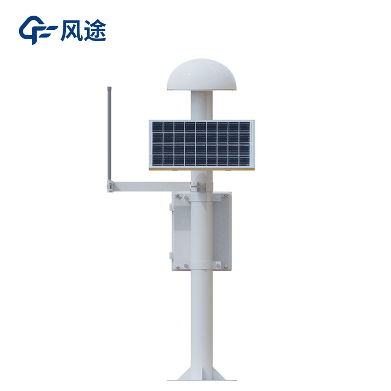
The dam safety monitoring station is a critical facility for ensuring dam security, with its core being the GNSS monitoring station. Through global satellite navigation systems, it real-time acquires the 3D coordinates of monitoring points on the dam, accurately reflecting deformation conditions with millimeter-level precision.
The monitoring station integrates data collection, transmission, and analysis. In addition to GNSS equipment, sensors like multi-point displacement meters and bedrock deformation meters are used. Data is transmitted to an analysis center via a dedicated system, where specialists use software for real-time analysis, plotting deformation curves to track the dam’s condition. Upon detecting anomalies, the system immediately issues warnings and provides decision-making support.
This system enables real-time monitoring of the dam’s health, early detection of potential risks, and timely response planning. During extreme weather, earthquakes, or other emergencies, it automatically analyzes data and triggers early warnings.
This paper addresses:https://www.fengtusz.com/industry/753.html