GNSS Deformation Monitoring is a technology that utilizes global navigation satellite systems to perform high-precision measurements of surface or structural deformations. By processing received satellite signals, this technology can accurately detect horizontal displacements and vertical settlements ranging from millimeters to centimeters. It is widely applied in fields such as geological disaster early warning and engineering safety monitoring.
GNSS deformation monitoring technology is based on satellite positioning principles. It involves setting up monitoring stations on the ground to continuously receive signals from navigation satellite systems such as BeiDou, GPS, GLONASS, and Galileo. Compared to traditional measurement methods, this technology offers advantages including all-weather operation, immunity to meteorological conditions, a high degree of automation, and the capability for real-time continuous monitoring.
GNSS deformation monitoring systems employ differential positioning technology to enhance measurement accuracy. The system consists of a reference station and monitoring stations. The reference station is established at a stable location, and by comparing data differences between the reference station and the monitoring stations, common errors such as satellite clock bias and atmospheric delay are effectively eliminated, enabling deformation monitoring with millimeter-level accuracy.
This technology is particularly suitable for long-term monitoring tasks over large areas, such as landslide movement monitoring, dam deformation detection, bridge displacement measurement, and ground subsidence observation. Since the 1990s, with the continuous development of satellite navigation technology, the accuracy and reliability of GNSS deformation monitoring have significantly improved, making it a vital technical means for modern engineering monitoring and geological disaster early warning.
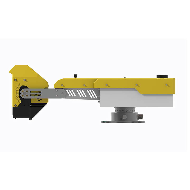
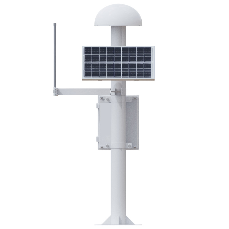
FT-WY2 is a Surface Displacement Monitoring System launched by Fengtu Technology, specifically designed for engineering safety monitoring and geological disaster early warning. The device integrates satellite signal reception, data processing, and communication transmission functions, forming a complete monitoring solution.
The FT-WY2 equipment possesses high-precision monitoring capabilities, enabling it to detect minute deformations of monitored targets. This provides reliable data support for safety warnings of engineering structures such as landslides, dams, and bridges. The device adopts multi-system, multi-frequency signal reception technology, supporting 11 frequency signals from navigation systems, achieving high-precision positioning through multi-system fusion.
The FT-WY2 incorporates a low-power design and a robust protective structure, enabling it to adapt to long-term continuous operation in complex field environments. It also integrates tilt and acceleration sensing modules, which can assist in detecting abrupt changes in displacement data and drive adaptive adjustments to the observation mode.
The FT-WY2 device features a built-in high-performance processor, providing powerful local computing capabilities. The device front-end incorporates various advanced algorithms, such as sidereal filtering, Kalman filtering, and mutation detection algorithms. The cloud platform integrates models for big data cleaning, trend analysis, and grey prediction, collectively ensuring the reliability and accuracy of the monitoring data.
The device supports various data communication transmission modes, including 4G/NB-IoT, wireless network bridges, and Ethernet. It can transmit monitoring data in real-time to the monitoring center, enabling remote bidirectional interaction and device status management.
The deployment of this Surface Displacement Monitoring System enables engineering construction and geological disaster prevention departments to promptly detect abnormal settlement, effectively reducing the hidden risks of collapse accidents. The system's automation features and low operational maintenance costs make it an ideal choice for dam safety monitoring, bridge health detection, landslide early warning, and other related fields.
This paper addresses:https://www.fengtusz.com/industry/877.html